
Piratemania 10
On 29th July we drove down to Cheddar to attend the 10th Piratemania. We left home just after 6am and after a 210 mile journey, battling through heavy traffic on the M5, we finally arrived at Petruth Paddocks just before midday.


We had a brilliant weekend, it was great bumping into caching friends old and new. The weather wasn't great, very wet most of the time but we still got out to find a few caches and on the Sunday morning we did an 8 mile bike ride finding the nearby cache series that had been set for the event. Before heading home we attended the Echo up the Gorge Flashmob in Cheddar Gorge which was dedicated to the memory of Karen Thorn (Angelica) a caching friend who very sadly died earlier this year.


Originally we'd planned to stay down in Devon for the week between the two Megas but as I'd changed jobs earlier this year I had to use my holiday before the end of June and as we'd already booked our main holiday for September/October it wasn't possible to have any more time off so we made the decision to travel down both weekends - not ideal but we didn't have much choice if we wanted to attend both events - missing them wasn't an option 😀
Devon Mega
 |
| Here we go again |
I was able to finish early on the Friday so we could head down to Devon in the afternoon. We left the house about 2pm and arrived 6 hours later after a 260 mile journey, yet again heavy traffic on the motorway but nothing as bad as the ten-mile queues we saw on the Northbound carriageway! We overnighted in Exmouth then early Saturday morning we did the virtual, View across the Exe and rode our bikes to Ladram Bay to play a whergio and do the Earthcache there.
 |
| Exmouth |


We had a great weekend in Devon attending the Mega, spent ages chatting to caching friends we hadn't seen since last year's Welsh Mega, got talking to Jayme, a Lackey from HQ and enjoyed doing the lab caches.

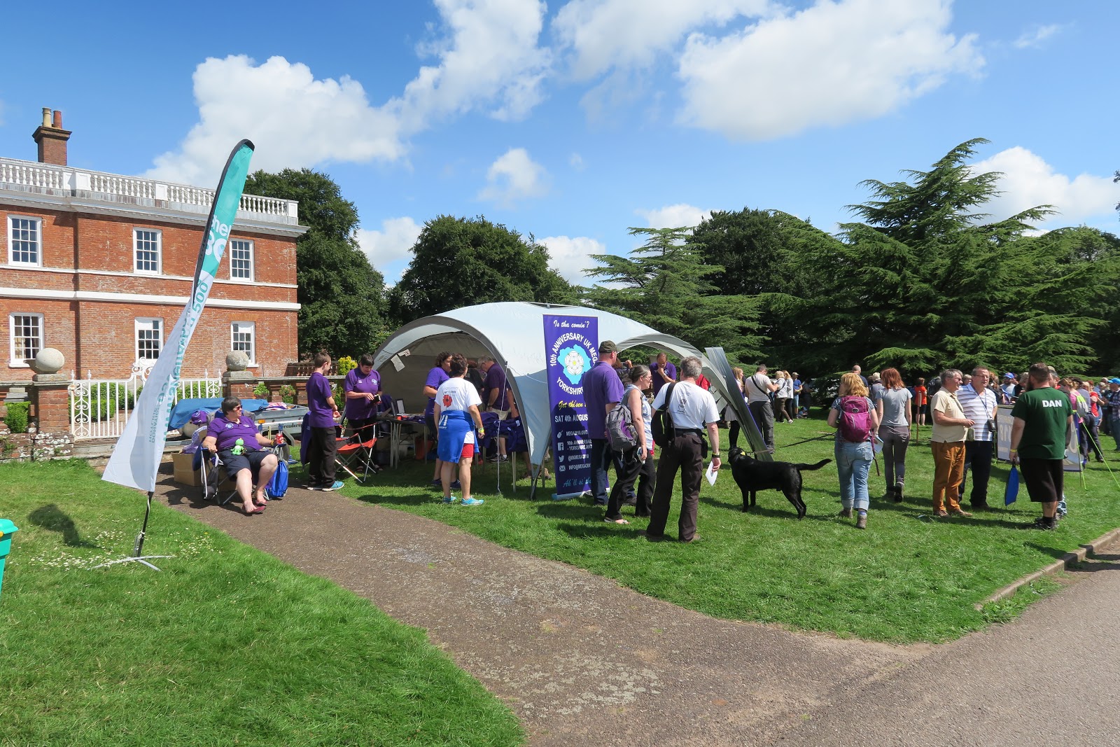

After the event we did the nearby Letterbox series and bumped into a few caching friends, great fun!

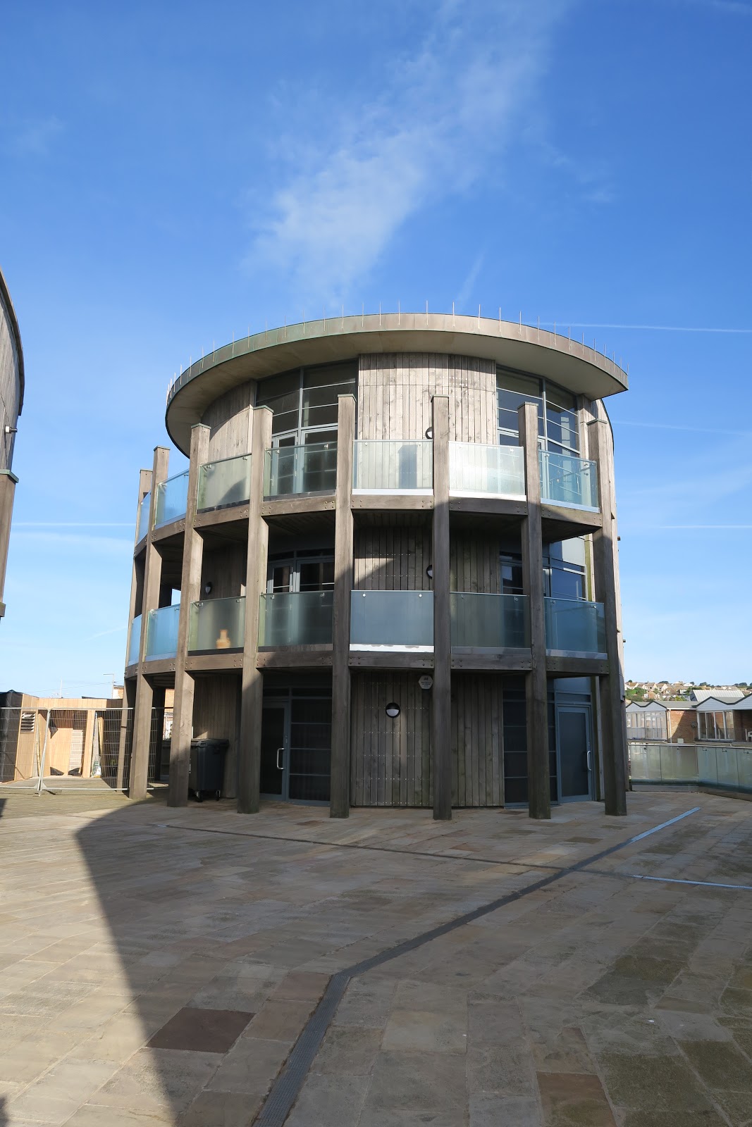
In the evening we drove to West Bay where the TV drama Broadchurch was filmed. Ever since we started watching Broadchurch back in 2013 we've wanted to visit, so it was too good an opportunity to miss as we weren't that far away.


 |
| 'Broadchurch' Cafe |
 |
| Broadchurch Police Station |

 |
| Detective Inspector Hardy's House (Broadchurch) |
 |
| 'Sea Brigade Hall' (Broadchurch) |
We stayed overnight in West Bay and in the morning we completed the wherigo we'd started the night before and then headed home - a long drive back to Lancashire.
Next year we are definitely getting the time off work!
Wainwrights


We're still getting out to The Lakes whenever we can. We've now bagged 79/214 Wainwrights and this weekend we decided to tick off a few more in the Far Eastern Fells. The weather forecast looked a bit mixed, mist and fog on higher ground which should lift later in the morning it said The walk we'd chosen had a few get-out routes just in case the weather turned - after the first two fells the weather took a turn for the worse and the rain was really heavy.
 |
| Ominous rainbow |

 |
| Artle Crag Survey Pillar |
At Artlecrag Pike we met another couple who said they were cutting their walk short due to the torrential rain. We decided to press on a bit further but the mist and rain was so bad, our waterproofs were struggling to keep out the water and there was no scenery to be seen, we decided to head back down to the car park which was about a mile from where we were.
 |
| Concrete Ring - Selside Brow |


Almost as soon as we got back down the rain cleared up and the sun came back out.
 |
| What a difference 10 mins makes! |
Once back at the campervan we laid out all our waterproofs and bag covers and sat enjoying the sunshine, after a couple of hours we pondered whether we ought to attempt to finish the walk today or try again in the morning. A quick calculation and we reckoned, including retracing our steps back up towards Little Harter Fell, we had about 7 miles left to do, having done 6 in the morning. We set off hoping to get the walk finished before dark.


The views were stunning once the fog had lifted and the walk was fantastic, really glad we decided to continue with it. Considering the car park was full when we set off we only saw a handful of people all day. Always good to stop and chat to others and find out how far people are walking or how many Wainwrights they've ticked off.

After a very long descent from High Street to Mardale Head we finally made it back to the camper at around 7pm and ready for our Super Noodles!

Haweswater is very remote and peaceful, one of the quietest places we've been in the Lakes. Interestingly, the village of Mardale Green once stood here but was flooded in the 1930s in order to build a reservoir to provide much needed water for the city of Manchester. The hundred or so residents were evicted and their houses destroyed by the Royal Engineers, who used them for demolition practice. The church was dismantled and the bricks reused to build the water take-off tower, the remains were dug up and reinterred at the nearby Shap cemetery.
 |
| Mardale Green pre-1935 |
During times of drought - the last noted in 1995 you are able to make out parts of the old village, during that time people were able to play tennis on the old tennis courts of the Dun Bull Hotel which is usually submerged underwater. There is evidence to be seen today of the old village, there's a small area visible between the Rigg and Wood Howe.
 |
| Evidence of the old village between The Rigg (left) and Wood Howe Island (centre) |
I find this sort of things fascinating, not sure why but I've always had an interest in abandoned buildings, disused structures and ghost towns.
Hopefully another update very soon....


 I took it steady and we stopped off half way to look for a cache we'd DNFd 6 years ago - found it straight away this time doh! We were in my Fiesta today so I wasn't sure how it would fare but I just kept on going and made it over the pass thankfully without incident and my nerves intact.


